Day #1:
First, we traced and cut out colorful landforms. Then, we layered each landform to create a visual of our learning. This layered format allowed us to more easily interpret the definition and shape of each type of landform.
Day #2:
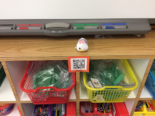
Next, we recorded formal definitions on our activity sheets to describe each type of landform. This task was performed as a scavenger hunt with the use of our classroom iPads and QR codes. Hidden around Room 27, were 8 large QR codes. Working with a peer, the students had to find all 8 codes and scan them using a QR code scanner app on the iPad. The app would then route the children to a photo of a real-world example of that specific landform, and the site would also provide a definition for the children to record on their sheets. Once the activity sheets were completed with each formal definition, the kids attached the sheets to the back of the project. We absolutely LOVED learning with the iPads and codes!!
Day #3:
After all of the hard ground-work was done, we glued mini QR codes to our projects. Now, even when we take our landforms home, we can use a scanner app to access the definitions and real-world landform examples. This was an awesome way to incorporate technology both in the classroom and outside the school walls. Maybe we will eventually learn how to create our own QR codes as a class!
The final products are currently on display in our hallway, but be sure to have some QR fun of your own when the project is sent home!! Thanks for visiting...see you soon!


No comments:
Post a Comment